

Charts
Each chart is a folder of lists with its own spots and routes. Keep one for the Keys, one for the Tortugas, one for the new boat.
Early beta · HoneyPlotr is still taking shape
HoneyPlotr is where you keep your spots now. Log fishing and dive spots on real nautical charts, plan routes between them, and share a chart with your crew. No more pen, paper and numbers on the back of a receipt.
Free to start. No account needed: your spots stay on your device until you sign in.
Why HoneyPlotr
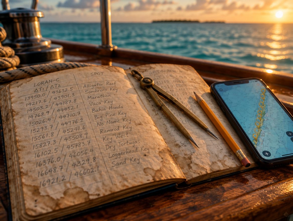
Most captains keep their best spots the old way: a water-stained notebook, numbers on the back of a chart, a list passed down from a former skipper. It works until the page gets wet, the book goes missing, or you need to share one spot with your mate.
HoneyPlotr puts all of it on a chart you can open on your phone at the dock or on the computer at home, kept safe in your account and ready for your chart plotter.
How it works
Make a chart for an area, a boat or a season, and split it into lists like wrecks, reefs or dive sites.
Tap the map, type a GPS position, paste a list or import a file. Got old Loran-C numbers? Enter the TDs and HoneyPlotr works out the position.
Plot routes between spots, invite your crew to the chart, and export to GPX for your chart plotter when it's time to head out.
Features
Each chart is a folder of lists with its own spots and routes. Keep one for the Keys, one for the Tortugas, one for the new boat.
Save a spot from a GPS position, a tap on the map or old TDs. Add notes and depth, and see each one with a presumed depth from NOAA survey data.
Plot courses between spots with true and magnetic bearings from NOAA's World Magnetic Model, a planning speed, marks and a printable route sheet.
Invite your crew as managers or viewers. Everyone sees the same spots live, with each other's pointers on the map. No email addresses are exposed.
NOAA charts, BlueTopo depth, seafloor relief and satellite, with reef habitat, buoys and lights, and territorial-limit overlays.
Bring spots in from pasted lists, CSV, KML or GPX. Send them out as GPX for your plotter, KML for Google Earth or CSV, and back up everything as one file.
Convert both ways, whatever the job needs. Turn old Loran-C TDs from a logbook into GPS positions, or get the TDs an old receiver would have shown for a GPS position, to check an old list or compare notes with someone still using numbers.
Right-click or long-press the map to measure. Geodesic legs show true and magnetic bearing with a running total in nautical miles, kilometres or miles. Copy a position or its TDs from the same menu.
Conversion, in detail
HoneyPlotr supports converting positions recorded on the old Loran-C chains. Loran-C was shut down in 2010, so it models the stations as they were when the numbers were written down.
Pub 221 corrections, as the book instructs.
Measures and removes your receiver's offset.
The all-seawater model many old units used.
Near-shore fill, smoothing, local calibration, manual offset.
Accuracy disclaimer: TD-to-GPS conversions are not a perfect one-to-one match. Deviations and variances will exist due to the nature of the conversion process.
Add it to your home screen and it opens like an app. Phone and desktop layouts, light and dark themes, and map tiles cached for patchy signal.
Use it without an account and everything stays on your device. Sign in to sync across devices, with optional two-factor sign-in.
HoneyPlotr is growing. New charting tools and features are added regularly, shaped by the captains and anglers who use it.
FAQ
Charter captains, commercial and recreational anglers, divers and weekend boaters: anyone with spots worth keeping. If you've ever written a position on a napkin, it's for you.
No. Most spots are added from a GPS position or a tap on the map. Conversion is there for when you have old TDs, or when you need the TDs for a GPS position.
No. HoneyPlotr is for logging spots and planning trips. Use your chart plotter and official charts on the water, and check every position before relying on it.
No. Without signing in, everything stays on your device. Sign in if you want your spots to follow you between devices or to share a chart with your crew.
One chart of your own, up to 100 spots and 5 routes, all the maps and exports, and joining as many shared charts as you're invited to. GPS-check corrections and multi-chain charts come with an upgraded plan.
Put your first honey hole on the map in under a minute. No account, no download.
Open HoneyPlotr